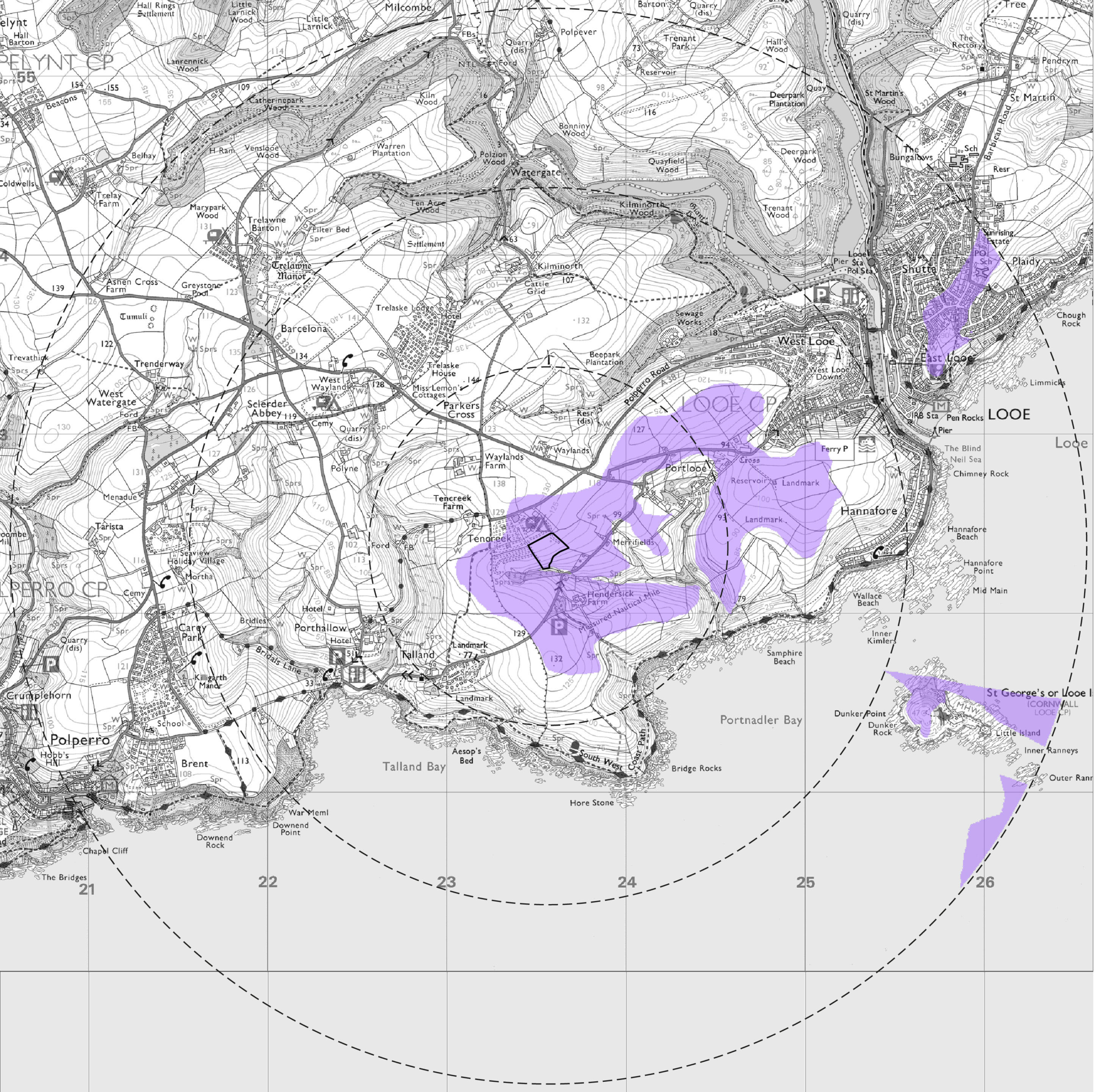
Supporting Graphics: Photomontages & Zone of Theoretical Visibility Maps (ZTV's)
Visibility mapping, referred to as Zones of Theoretical Visibility (ZTVs) are generated on three-dimensional modelling software such as Key TerraFirma.
They are commonly used within Landscape and Visual Impact Assessments (LVIAs) to determine the visibility of a development in the surrounding landscape.
Photomontages are used to show how a development will look compared to the existing landscape and are particularly useful when demonstrating the impact of developments in rural settings. They’re often included in planning applications for wind turbines and solar farms.